Regent Road Car park, Altrincham
Introduction
The photograph on this page of Regent Road Car park, Altrincham by Richard Sutcliffe as part of the Geograph project.
The Geograph project started in 2005 with the aim of publishing, organising and preserving representative images for every square kilometre of Great Britain, Ireland and the Isle of Man.

There are currently over 7.5m images from over 14,400 individuals and you can help contribute to the project by visiting https://www.geograph.org.uk
Regent Road Car park, Altrincham
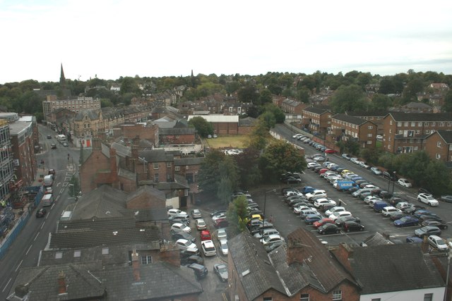
Image: © Richard Sutcliffe Taken: 26 Sep 2014
View from a room at the top of Altrincham Travelodge looking over the Regent Road Car park. Railway Street is on the left of the photograph. The spire on the left is St John's Church.
Images are licensed for reuse under creativecommons.org/licenses/by-sa/2.0
Image Location
Latitude
53.384989
Longitude
-2.353873