Public footpath to Green Lane and the Macclesfield Road
Introduction
The photograph on this page of Public footpath to Green Lane and the Macclesfield Road by Christine Johnstone as part of the Geograph project.
The Geograph project started in 2005 with the aim of publishing, organising and preserving representative images for every square kilometre of Great Britain, Ireland and the Isle of Man.

There are currently over 7.5m images from over 14,400 individuals and you can help contribute to the project by visiting https://www.geograph.org.uk
Public footpath to Green Lane and the Macclesfield Road
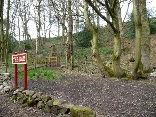
Image: © Christine Johnstone Taken: 7 Apr 2015
Stepping away from the lakeside near Rudyard Lake Steam Railway's The Dam Station.
Images are licensed for reuse under creativecommons.org/licenses/by-sa/2.0
Image Location


Leaflet Map data © OpenStreetMap
Latitude
53.12257
Longitude
-2.072432