The Knockbracken Reservoir
Introduction
The photograph on this page of The Knockbracken Reservoir by Eric Jones as part of the Geograph project.
The Geograph project started in 2005 with the aim of publishing, organising and preserving representative images for every square kilometre of Great Britain, Ireland and the Isle of Man.

There are currently over 7.5m images from over 14,400 individuals and you can help contribute to the project by visiting https://www.geograph.org.uk
The Knockbracken Reservoir
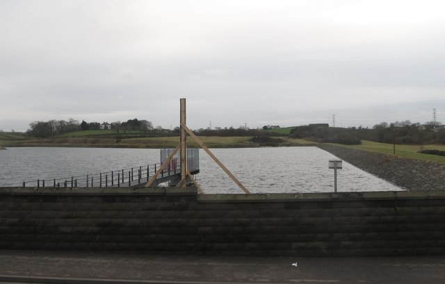
Image: © Eric Jones Taken: 17 Feb 2015
This was built in 1901 as part of Macassey's scheme to bring Mourne water to the city of Belfast. The reservoir, now disused, is also known as the Mealough Reservoir, Mealough being a nearby residential area. Recently, NI Water has sold land on the site for house building.
Images are licensed for reuse under creativecommons.org/licenses/by-sa/2.0
Image Location
Latitude
54.528058
Longitude
-5.894341