The road to the ferry
Introduction
The photograph on this page of The road to the ferry by Neil Owen as part of the Geograph project.
The Geograph project started in 2005 with the aim of publishing, organising and preserving representative images for every square kilometre of Great Britain, Ireland and the Isle of Man.

There are currently over 7.5m images from over 14,400 individuals and you can help contribute to the project by visiting https://www.geograph.org.uk
The road to the ferry
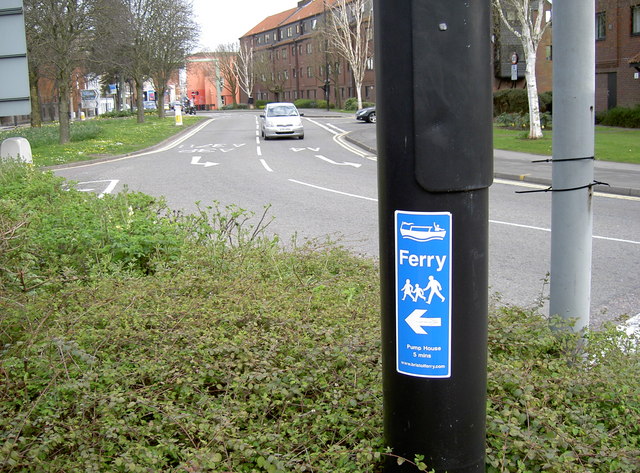
Image: © Neil Owen Taken: 10 Apr 2015
Bristol's old city docks are no longer a place of industry and trade. Instead, the little ferry boats travel around the Floating Harbour delivering businessmen and tourists from one side to the other, hence avoiding lots of walking. The local surrounds are marked to draw them in.
Images are licensed for reuse under creativecommons.org/licenses/by-sa/2.0
Image Location
Latitude
51.449943
Longitude
-2.618165