Bridge over disused railway near Wetherby
Introduction
The photograph on this page of Bridge over disused railway near Wetherby by Derek Harper as part of the Geograph project.
The Geograph project started in 2005 with the aim of publishing, organising and preserving representative images for every square kilometre of Great Britain, Ireland and the Isle of Man.

There are currently over 7.5m images from over 14,400 individuals and you can help contribute to the project by visiting https://www.geograph.org.uk
Bridge over disused railway near Wetherby
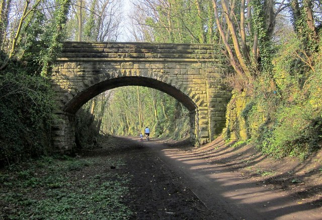
Image: © Derek Harper Taken: 6 Apr 2015
The bridge, which links Quarry Hill Lane to the Hill Top estate, is also shown in Image and, from above, in Image The Harland Way follows the former railway to Spofforth.
Images are licensed for reuse under creativecommons.org/licenses/by-sa/2.0
Image Location
Latitude
53.933791
Longitude
-1.393765