40 on the A40, Haverfordwest
Introduction
The photograph on this page of 40 on the A40, Haverfordwest by Jaggery as part of the Geograph project.
The Geograph project started in 2005 with the aim of publishing, organising and preserving representative images for every square kilometre of Great Britain, Ireland and the Isle of Man.

There are currently over 7.5m images from over 14,400 individuals and you can help contribute to the project by visiting https://www.geograph.org.uk
40 on the A40, Haverfordwest
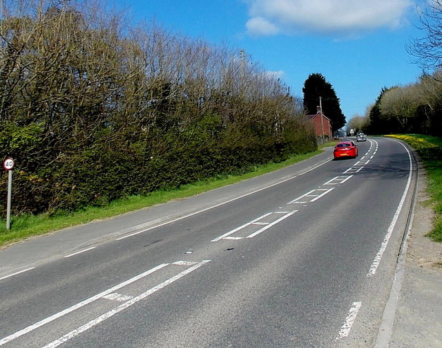
Image: © Jaggery Taken: 18 Apr 2014
The small round sign on the left shows a 40 mph speed limit on the A40 Narberth Road in the east of Haverfordwest.
Images are licensed for reuse under creativecommons.org/licenses/by-sa/2.0
Image Location
Latitude
51.804667
Longitude
-4.950762