Southdown
Introduction
The photograph on this page of Southdown by Rude Health as part of the Geograph project.
The Geograph project started in 2005 with the aim of publishing, organising and preserving representative images for every square kilometre of Great Britain, Ireland and the Isle of Man.

There are currently over 7.5m images from over 14,400 individuals and you can help contribute to the project by visiting https://www.geograph.org.uk
Southdown
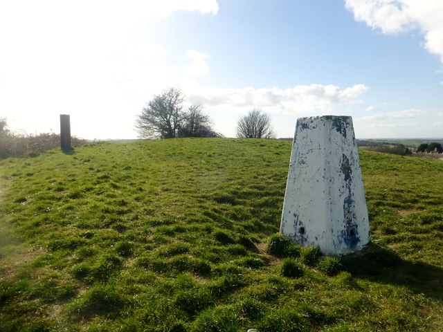
Image: © Rude Health Taken: 26 Mar 2015
Parked on pavement of main road then a short walk uphill to bag the trig and nearby summit. Name: Southdown Hill number: 18215 Height: 141m / 463ft Parent (Ma/M): 2891 Beacon Batch Section: 41: South Central England County/UA: Bath and NE Somerset (CoU) Class: Unclassified Grid ref: ST724633 (est) Drop: 27m Col: 114m ST726630
Images are licensed for reuse under creativecommons.org/licenses/by-sa/2.0
Image Location
Latitude
51.368358
Longitude
-2.396851