Croft Avenue, Shap
Introduction
The photograph on this page of Croft Avenue, Shap by Richard Law as part of the Geograph project.
The Geograph project started in 2005 with the aim of publishing, organising and preserving representative images for every square kilometre of Great Britain, Ireland and the Isle of Man.

There are currently over 7.5m images from over 14,400 individuals and you can help contribute to the project by visiting https://www.geograph.org.uk
Croft Avenue, Shap
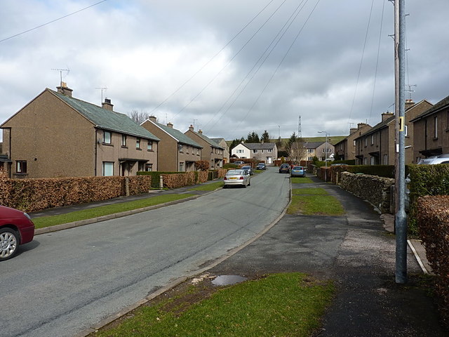
Image: © Richard Law Taken: 29 Mar 2015
Semi-detached housing on the east side of the A6 - council houses, by the look of them.
Images are licensed for reuse under creativecommons.org/licenses/by-sa/2.0
Image Location
Latitude
54.527858
Longitude
-2.674422