Copyhold Gill
Introduction
The photograph on this page of Copyhold Gill by Simon Carey as part of the Geograph project.
The Geograph project started in 2005 with the aim of publishing, organising and preserving representative images for every square kilometre of Great Britain, Ireland and the Isle of Man.

There are currently over 7.5m images from over 14,400 individuals and you can help contribute to the project by visiting https://www.geograph.org.uk
Copyhold Gill
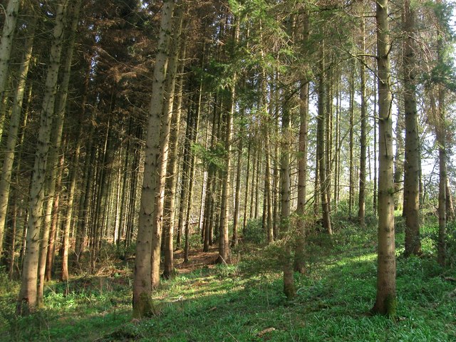
Image: © Simon Carey Taken: 9 Apr 2015
A wood that lines the slopes of an unnamed stream though this part has more of a plantation feel to it.
Images are licensed for reuse under creativecommons.org/licenses/by-sa/2.0
Image Location
Latitude
50.994554
Longitude
-0.128973