Heasewood Cottages, Isaac's Lane
Introduction
The photograph on this page of Heasewood Cottages, Isaac's Lane by Simon Carey as part of the Geograph project.
The Geograph project started in 2005 with the aim of publishing, organising and preserving representative images for every square kilometre of Great Britain, Ireland and the Isle of Man.

There are currently over 7.5m images from over 14,400 individuals and you can help contribute to the project by visiting https://www.geograph.org.uk
Heasewood Cottages, Isaac's Lane
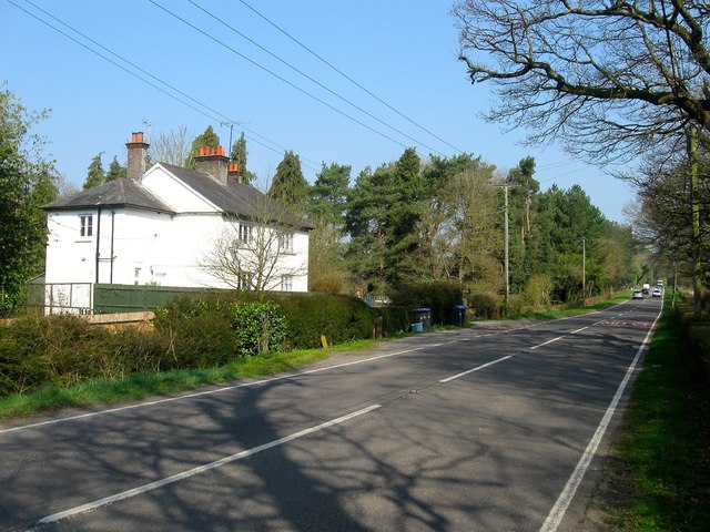
Image: © Simon Carey Taken: 9 Apr 2015
Dating from the earliest 20th century and originally built in a detached portion of Clayton parish that surrounded Heasewood Farm.
Images are licensed for reuse under creativecommons.org/licenses/by-sa/2.0
Image Location
Latitude
50.985214
Longitude
-0.129776