Farmland at Buckland Common
Introduction
The photograph on this page of Farmland at Buckland Common by David Purchase as part of the Geograph project.
The Geograph project started in 2005 with the aim of publishing, organising and preserving representative images for every square kilometre of Great Britain, Ireland and the Isle of Man.

There are currently over 7.5m images from over 14,400 individuals and you can help contribute to the project by visiting https://www.geograph.org.uk
Farmland at Buckland Common
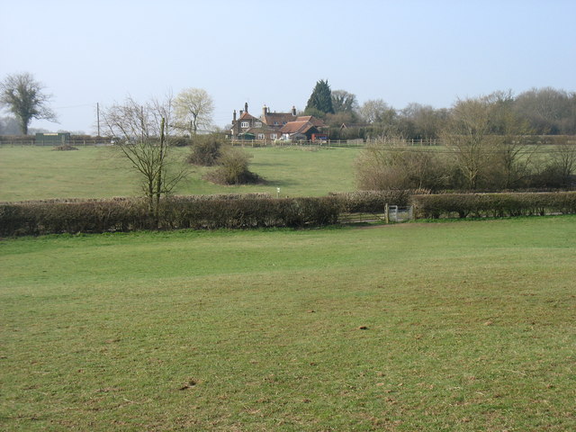
Image: © David Purchase Taken: 9 Apr 2015
The Chiltern Way heads for the gate to cross Bottom Road, and then on to the White Lion pub (see Image).
Images are licensed for reuse under creativecommons.org/licenses/by-sa/2.0
Image Location
Latitude
51.754612
Longitude
-0.670016