Site of St John's Gate, Isaac's Lane
Introduction
The photograph on this page of Site of St John's Gate, Isaac's Lane by Simon Carey as part of the Geograph project.
The Geograph project started in 2005 with the aim of publishing, organising and preserving representative images for every square kilometre of Great Britain, Ireland and the Isle of Man.

There are currently over 7.5m images from over 14,400 individuals and you can help contribute to the project by visiting https://www.geograph.org.uk
Site of St John's Gate, Isaac's Lane
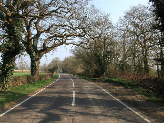
Image: © Simon Carey Taken: 9 Apr 2015
The rough ground on the right is the site of a former toll house that was erected when Isaac's Lane was turnpiked in 1807. The gate is marked on both Clayton's 1838 tithe map and the 1876 OS map a year or so before the road was disturnpiked and the toll house probably removed as it wasn't there on the 1897 edition.
Images are licensed for reuse under creativecommons.org/licenses/by-sa/2.0
Image Location
Latitude
50.973021
Longitude
-0.137816