Fairplace Bridge, Burgess Hill
Introduction
The photograph on this page of Fairplace Bridge, Burgess Hill by Simon Carey as part of the Geograph project.
The Geograph project started in 2005 with the aim of publishing, organising and preserving representative images for every square kilometre of Great Britain, Ireland and the Isle of Man.

There are currently over 7.5m images from over 14,400 individuals and you can help contribute to the project by visiting https://www.geograph.org.uk
Fairplace Bridge, Burgess Hill
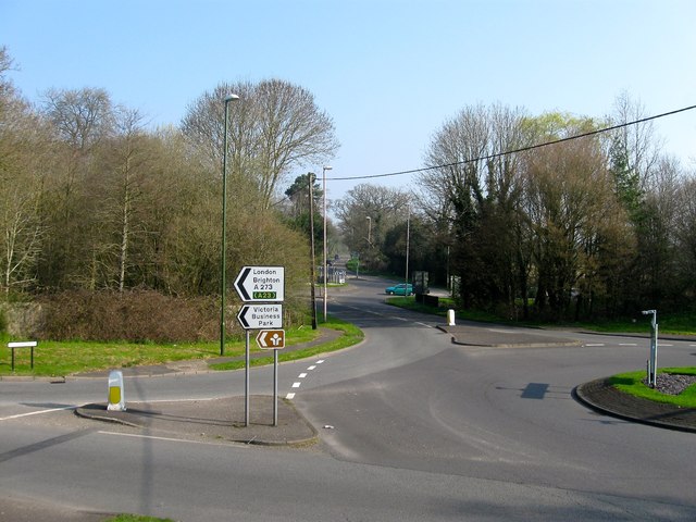
Image: © Simon Carey Taken: 9 Apr 2015
Marking the northern end of Burgess Hill where the A273 crosses over the River Adur. It was located between the two roundabouts, the one in the foreground containing the junction for the A273 and B2036 and the one beyond the bridge is where Isaac's Lane, the A273, heads north east to Haywards Heath and Cuckfield Road, the B2036, heads north west to Ansty and Cuckfield.
Images are licensed for reuse under creativecommons.org/licenses/by-sa/2.0
Image Location
Latitude
50.967838
Longitude
-0.139874