London Road, Burgess Hill
Introduction
The photograph on this page of London Road, Burgess Hill by Simon Carey as part of the Geograph project.
The Geograph project started in 2005 with the aim of publishing, organising and preserving representative images for every square kilometre of Great Britain, Ireland and the Isle of Man.

There are currently over 7.5m images from over 14,400 individuals and you can help contribute to the project by visiting https://www.geograph.org.uk
London Road, Burgess Hill
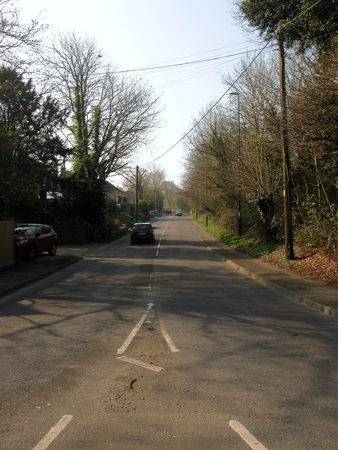
Image: © Simon Carey Taken: 9 Apr 2015
Currently the B2036 heading north from the junction with the A273 which until 1991 was the designation of this road. The highway itself is sometimes known as Fairplace Hill.
Images are licensed for reuse under creativecommons.org/licenses/by-sa/2.0
Image Location
Latitude
50.96658
Longitude
-0.139925