Lowlands Farm
Introduction
The photograph on this page of Lowlands Farm by Simon Carey as part of the Geograph project.
The Geograph project started in 2005 with the aim of publishing, organising and preserving representative images for every square kilometre of Great Britain, Ireland and the Isle of Man.

There are currently over 7.5m images from over 14,400 individuals and you can help contribute to the project by visiting https://www.geograph.org.uk
Lowlands Farm
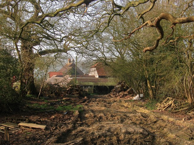
Image: © Simon Carey Taken: 9 Apr 2015
A farm has certainly been here since at least the 16th century and was once located to the immediate north of what was Frecks Common, a northern portion of the former St John's Common on which much of Burgess Hill is built. The farm was also known as Frecks, Fricks or Freeks until at least the Second World War before acquiring its current name after the conflict. The track is Freek's Lane which follows the line of an old access road from the common to the farm and continues north of it.
Images are licensed for reuse under creativecommons.org/licenses/by-sa/2.0
Image Location
Latitude
50.970004
Longitude
-0.129105