Denchy Mead
Introduction
The photograph on this page of Denchy Mead by Simon Carey as part of the Geograph project.
The Geograph project started in 2005 with the aim of publishing, organising and preserving representative images for every square kilometre of Great Britain, Ireland and the Isle of Man.

There are currently over 7.5m images from over 14,400 individuals and you can help contribute to the project by visiting https://www.geograph.org.uk
Denchy Mead
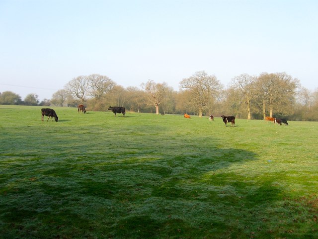
Image: © Simon Carey Taken: 9 Apr 2015
The name of the field according to Clayton's 1838 tithe map that lies to the north of Image and south of Image It is bounded to the east by Freek's Lane. Denchy derives from denshire which in turn is a contraction of 'devonshiring', an old method of fertilising poor fields by burning.
Images are licensed for reuse under creativecommons.org/licenses/by-sa/2.0
Image Location
Latitude
50.972622
Longitude
-0.129712