Distances from Coleford
Introduction
The photograph on this page of Distances from Coleford by Jaggery as part of the Geograph project.
The Geograph project started in 2005 with the aim of publishing, organising and preserving representative images for every square kilometre of Great Britain, Ireland and the Isle of Man.

There are currently over 7.5m images from over 14,400 individuals and you can help contribute to the project by visiting https://www.geograph.org.uk
Distances from Coleford
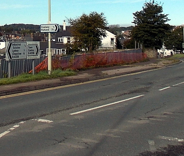
Image: © Jaggery Taken: 12 Oct 2014
The signs are alongside Old Station Way at the Lord's Hill junction. Left for Lydney (7 miles) and Chepstow 13. Right for Coalway (½) and Parkend (3½). The road past the fence on the right is towards Coleford town centre.
Images are licensed for reuse under creativecommons.org/licenses/by-sa/2.0
Image Location
Latitude
51.792803
Longitude
-2.614579