Sharnbrook School
Introduction
The photograph on this page of Sharnbrook School by PAUL FARMER as part of the Geograph project.
The Geograph project started in 2005 with the aim of publishing, organising and preserving representative images for every square kilometre of Great Britain, Ireland and the Isle of Man.

There are currently over 7.5m images from over 14,400 individuals and you can help contribute to the project by visiting https://www.geograph.org.uk
Sharnbrook School
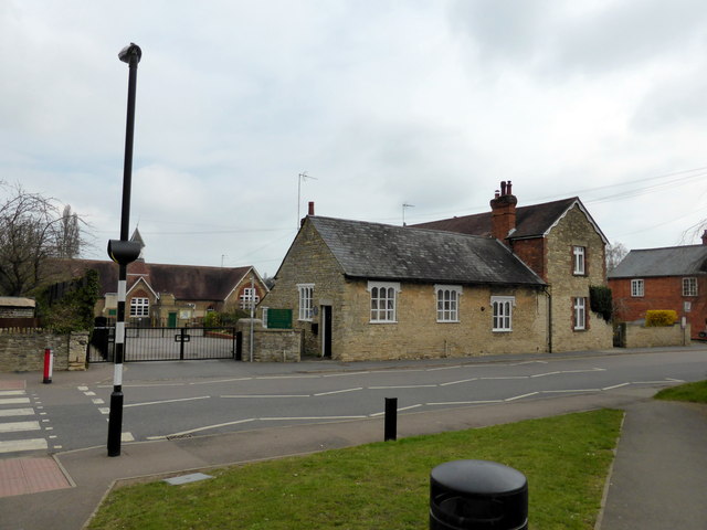
Image: © PAUL FARMER Taken: 5 Apr 2015
A sign outside indecates this building was a stables before becoming a school
Images are licensed for reuse under creativecommons.org/licenses/by-sa/2.0
Image Location
Latitude
52.225329
Longitude
-0.542532