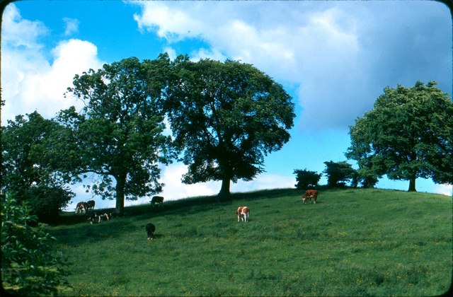
A field. Embsay. 1979.
Introduction
The photograph on this page of A field. Embsay. 1979. by Robin Marshall as part of the Geograph project.
The Geograph project started in 2005 with the aim of publishing, organising and preserving representative images for every square kilometre of Great Britain, Ireland and the Isle of Man.
There are currently over 7.5m images from over 14,400 individuals and you can help contribute to the project by visiting https://www.geograph.org.uk

Image: © Robin Marshall Taken: 17 Jul 1979
A field! you might say. What's special about that? Nothing really except this is Embsay. The station master used to live in the house that is on the corner of Skipton Road and the access road to the station. In my school days, Mr Walters was the resident and I had an early teen crush on his daughter Valerie. Alas, she called me an "ugly ape" which dampened my ardour. I remember running off from the gate of their house behind the houses on, erm, East Lane? into the fields. I was always fascinated by the shape of that little hill. Was it natural or was it a neolithic burial mound. Surely Embesai didn't have enough residents pre-Roman to fill a burial mound that large. Anyway, in 1979, I went to the field and took a picture, to put everything into place.

