River Kit valley
Introduction
The photograph on this page of River Kit valley by Derek Harper as part of the Geograph project.
The Geograph project started in 2005 with the aim of publishing, organising and preserving representative images for every square kilometre of Great Britain, Ireland and the Isle of Man.

There are currently over 7.5m images from over 14,400 individuals and you can help contribute to the project by visiting https://www.geograph.org.uk
River Kit valley
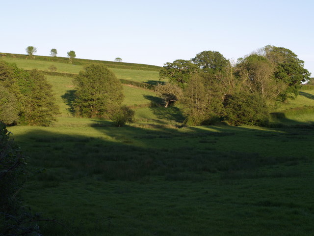
Image: © Derek Harper Taken: 22 May 2007
The Kit valley above Farway Marsh, showing the area where it is joined from the left by the stream draining the Hook valley. Seen from a gateway on the lane between Farway Farm and Hook.
Images are licensed for reuse under creativecommons.org/licenses/by-sa/2.0
Image Location
Latitude
50.840335
Longitude
-2.988423