Owl's Den
Introduction
The photograph on this page of Owl's Den by Anne Burgess as part of the Geograph project.
The Geograph project started in 2005 with the aim of publishing, organising and preserving representative images for every square kilometre of Great Britain, Ireland and the Isle of Man.

There are currently over 7.5m images from over 14,400 individuals and you can help contribute to the project by visiting https://www.geograph.org.uk
Owl's Den
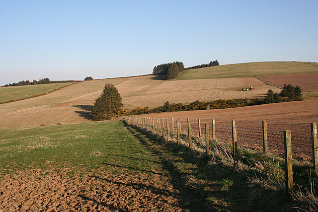
Image: © Anne Burgess Taken: 9 Apr 2015
Owl's Den is the name of the dip in the land marked by the trees on the right. It contains a headwater of the Burn of Lenshie. Above it is Kirk Hill (259 metres).
Images are licensed for reuse under creativecommons.org/licenses/by-sa/2.0
Image Location
Latitude
57.448146
Longitude
-2.583651