Backhill of Hatton
Introduction
The photograph on this page of Backhill of Hatton by Anne Burgess as part of the Geograph project.
The Geograph project started in 2005 with the aim of publishing, organising and preserving representative images for every square kilometre of Great Britain, Ireland and the Isle of Man.

There are currently over 7.5m images from over 14,400 individuals and you can help contribute to the project by visiting https://www.geograph.org.uk
Backhill of Hatton
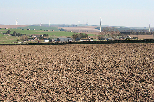
Image: © Anne Burgess Taken: 9 Apr 2015
Looking across ploughed fields to Backhill of Hatton. Further way is Charlesfield, all dominated by the wind turbines on distant Gordonstown Hill.
Images are licensed for reuse under creativecommons.org/licenses/by-sa/2.0
Image Location
Latitude
57.47717
Longitude
-2.519748