Upper Saunders
Introduction
The photograph on this page of Upper Saunders by Simon Carey as part of the Geograph project.
The Geograph project started in 2005 with the aim of publishing, organising and preserving representative images for every square kilometre of Great Britain, Ireland and the Isle of Man.

There are currently over 7.5m images from over 14,400 individuals and you can help contribute to the project by visiting https://www.geograph.org.uk
Upper Saunders
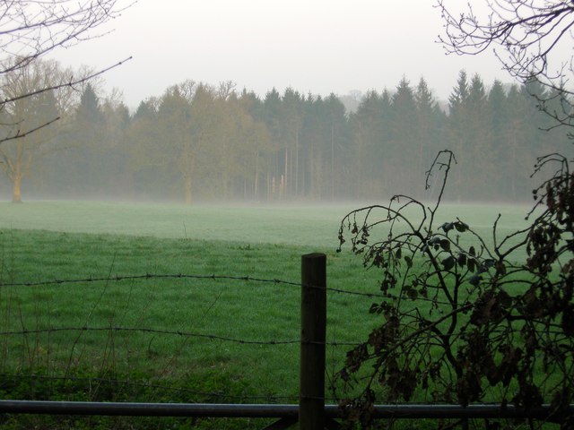
Image: © Simon Carey Taken: 9 Apr 2015
The name of the field according to Cuckfield's 1843 tithe map that has been extended to include Image to the west. Viewed from Isaac's Lane with Copyhold Gill the wood at the end of the field.
Images are licensed for reuse under creativecommons.org/licenses/by-sa/2.0
Image Location
Latitude
50.994434
Longitude
-0.127126