Junction of St Paul's Drive and Cornmarsh Way
Introduction
The photograph on this page of Junction of St Paul's Drive and Cornmarsh Way by Roger Templeman as part of the Geograph project.
The Geograph project started in 2005 with the aim of publishing, organising and preserving representative images for every square kilometre of Great Britain, Ireland and the Isle of Man.

There are currently over 7.5m images from over 14,400 individuals and you can help contribute to the project by visiting https://www.geograph.org.uk
Junction of St Paul's Drive and Cornmarsh Way
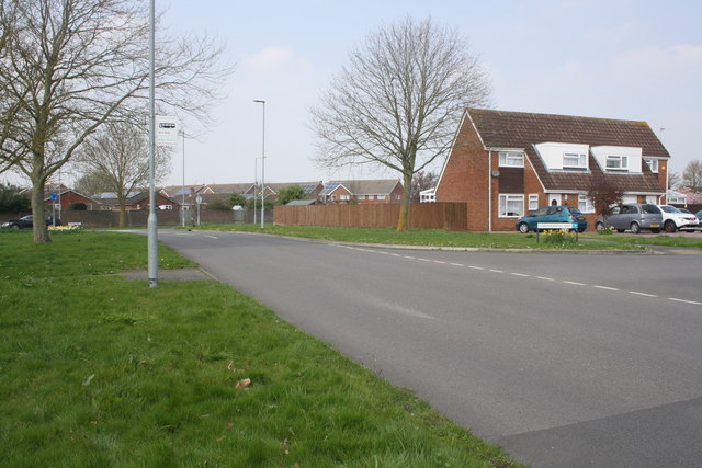
Image: © Roger Templeman Taken: 9 Apr 2015
The tarmac patch on the left hand side verge by the bus stop sign is possibly the site of a bus shelter which had an Ordnance Survey benchmark, http://www.bench-marks.org.uk/bm56144
Images are licensed for reuse under creativecommons.org/licenses/by-sa/2.0
Image Location
Latitude
51.566165
Longitude
-1.725982