Salvation Army Community Church, Bath Road
Introduction
The photograph on this page of Salvation Army Community Church, Bath Road by K K Stears as part of the Geograph project.
The Geograph project started in 2005 with the aim of publishing, organising and preserving representative images for every square kilometre of Great Britain, Ireland and the Isle of Man.

There are currently over 7.5m images from over 14,400 individuals and you can help contribute to the project by visiting https://www.geograph.org.uk
Salvation Army Community Church, Bath Road
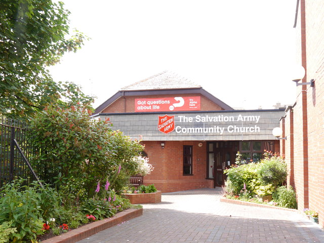
Image: © K K Stears Taken: 19 Jun 2014
Salvation Army Community Church, Bath Road. It's right next to the River Chelt (which runs parallel with the left side of the building)
Images are licensed for reuse under creativecommons.org/licenses/by-sa/2.0
Image Location
Latitude
51.897064
Longitude
-2.073635