Jedburgh 48 miles
Introduction
The photograph on this page of Jedburgh 48 miles by JThomas as part of the Geograph project.
The Geograph project started in 2005 with the aim of publishing, organising and preserving representative images for every square kilometre of Great Britain, Ireland and the Isle of Man.

There are currently over 7.5m images from over 14,400 individuals and you can help contribute to the project by visiting https://www.geograph.org.uk
Jedburgh 48 miles
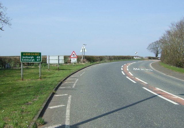
Image: © JThomas Taken: 9 Apr 2015
The Beeches (A696) heading north west from Ponteland.
Images are licensed for reuse under creativecommons.org/licenses/by-sa/2.0
Image Location
Latitude
55.050263
Longitude
-1.756584