
Mersea Barrow
Introduction
The photograph on this page of Mersea Barrow by Neil Theasby as part of the Geograph project.
The Geograph project started in 2005 with the aim of publishing, organising and preserving representative images for every square kilometre of Great Britain, Ireland and the Isle of Man.

There are currently over 7.5m images from over 14,400 individuals and you can help contribute to the project by visiting https://www.geograph.org.uk
Mersea Barrow
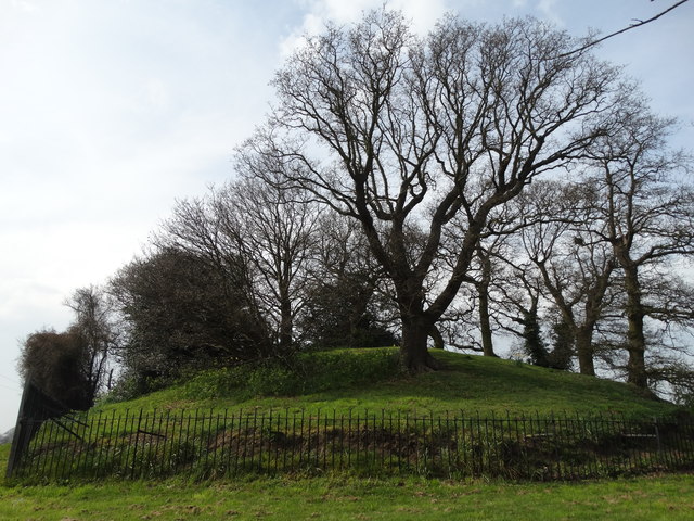
Image: © Neil Theasby Taken: 10 Apr 2015
Thought to be a Roman burial barrow, dated 100-120 AD. The mound was excavated in 1912 and an entrance passage built.In the centre was a small burial chamber built of Roman bricks capped by septaria (clay nodules) and inside was a lead box with a wooden lid. The box contained an urn of green glass containing cremated remains. The barrow is also known as Mersea Mound, Mersea Mount or Grim's Hoe.
Images are licensed for reuse under creativecommons.org/licenses/by-sa/2.0
Image Location

Latitude
51.790958
Longitude
0.931251