The Sir Oswold Stoll Foundation building
Introduction
The photograph on this page of The Sir Oswold Stoll Foundation building by Oast House Archive as part of the Geograph project.
The Geograph project started in 2005 with the aim of publishing, organising and preserving representative images for every square kilometre of Great Britain, Ireland and the Isle of Man.

There are currently over 7.5m images from over 14,400 individuals and you can help contribute to the project by visiting https://www.geograph.org.uk
The Sir Oswold Stoll Foundation building
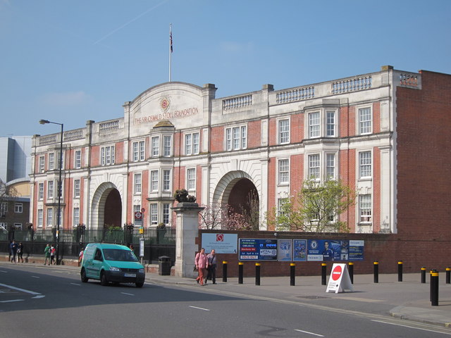
Image: © Oast House Archive Taken: 9 Apr 2015
A charity providing housing and enabling services to disabled and homeless ex- Service personnel and other people with disabilities.
Images are licensed for reuse under creativecommons.org/licenses/by-sa/2.0
Image Location
Latitude
51.48045
Longitude
-0.192685