Marker Post on the East Lancashire Line
Introduction
The photograph on this page of Marker Post on the East Lancashire Line by Greum as part of the Geograph project.
The Geograph project started in 2005 with the aim of publishing, organising and preserving representative images for every square kilometre of Great Britain, Ireland and the Isle of Man.

There are currently over 7.5m images from over 14,400 individuals and you can help contribute to the project by visiting https://www.geograph.org.uk
Marker Post on the East Lancashire Line
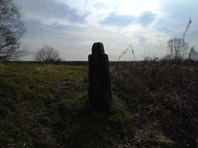
Image: © Greum Taken: 10 Apr 2015
A marker post by the East Lancashire Railway Line close to the Pleasington Viaduct between Cherry Tree & Pleasington. The stone is badly eroded with no inscriptions visible. Its location marks the bottom of the railway embankment, seen in the background in the photograph.
Images are licensed for reuse under creativecommons.org/licenses/by-sa/2.0
Image Location
Latitude
53.731005
Longitude
-2.533514