Thames Sailing Barge, River Lee Navigation, London N17
Introduction
The photograph on this page of Thames Sailing Barge, River Lee Navigation, London N17 by Christine Matthews as part of the Geograph project.
The Geograph project started in 2005 with the aim of publishing, organising and preserving representative images for every square kilometre of Great Britain, Ireland and the Isle of Man.

There are currently over 7.5m images from over 14,400 individuals and you can help contribute to the project by visiting https://www.geograph.org.uk
Thames Sailing Barge, River Lee Navigation, London N17
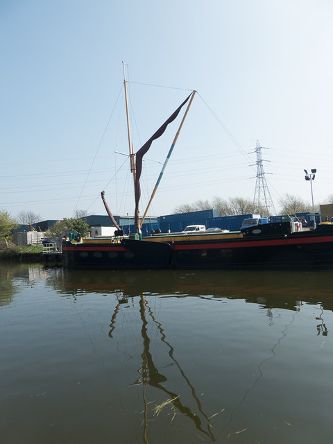
Image: © Christine Matthews Taken: 9 Apr 2015
Moored near Tottenham Hale.
Images are licensed for reuse under creativecommons.org/licenses/by-sa/2.0
Image Location
Latitude
51.590551
Longitude
-0.054203