The River Graveney
Introduction
The photograph on this page of The River Graveney by Des Blenkinsopp as part of the Geograph project.
The Geograph project started in 2005 with the aim of publishing, organising and preserving representative images for every square kilometre of Great Britain, Ireland and the Isle of Man.

There are currently over 7.5m images from over 14,400 individuals and you can help contribute to the project by visiting https://www.geograph.org.uk
The River Graveney
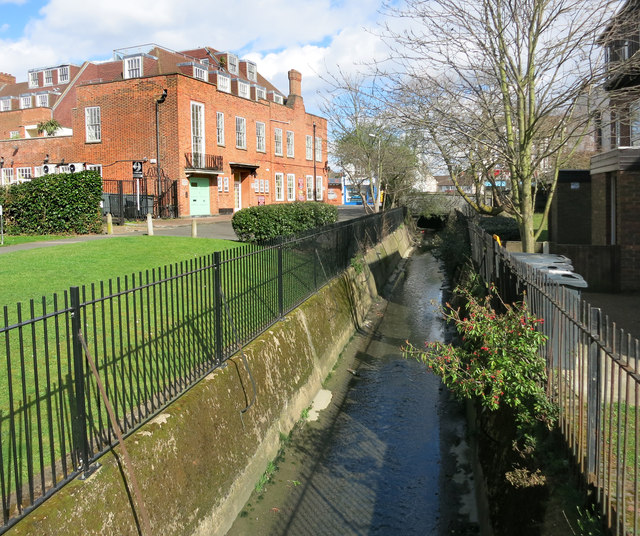
Image: © Des Blenkinsopp Taken: 31 Mar 2015
A tributary of the River Wandle, this stream has just undergone a name change. Upstream of the culvert seen mid shot here, it's called the Norbury Brook. A classic urban river in a dismal concrete trench, it has fared better than some others in that it is still above ground. http://en.wikipedia.org/wiki/Norbury_Brook
Images are licensed for reuse under creativecommons.org/licenses/by-sa/2.0
Image Location
Latitude
51.413209
Longitude
-0.125449