Ploughed field
Introduction
The photograph on this page of Ploughed field by Richard Webb as part of the Geograph project.
The Geograph project started in 2005 with the aim of publishing, organising and preserving representative images for every square kilometre of Great Britain, Ireland and the Isle of Man.

There are currently over 7.5m images from over 14,400 individuals and you can help contribute to the project by visiting https://www.geograph.org.uk
Ploughed field
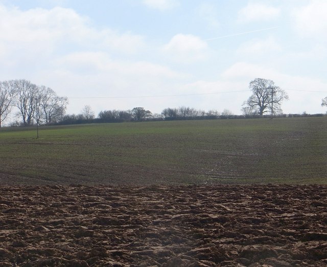
Image: © Richard Webb Taken: 5 Apr 2015
Spring arable field beside the Wyre Forest. A nearby sign (across the grid line) states that a footpath here is closed "By Order". No information though, but a discrepancy between 1:25,000 and 1:50,000 mapping (no green pecked lines on the 1:25,000 map).
Images are licensed for reuse under creativecommons.org/licenses/by-sa/2.0
Image Location
Latitude
52.398506
Longitude
-2.455563