Path to Drummond Close, Haywards Heath
Introduction
The photograph on this page of Path to Drummond Close, Haywards Heath by Simon Carey as part of the Geograph project.
The Geograph project started in 2005 with the aim of publishing, organising and preserving representative images for every square kilometre of Great Britain, Ireland and the Isle of Man.

There are currently over 7.5m images from over 14,400 individuals and you can help contribute to the project by visiting https://www.geograph.org.uk
Path to Drummond Close, Haywards Heath
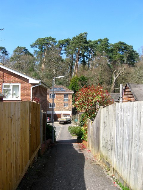
Image: © Simon Carey Taken: 7 Apr 2015
Linking the northern end of Sunnywood Drive to the close and then Victoria Park. Part of the park built on the former spoil heap made by the construction of the railway in 1841 can be seen beyond.
Images are licensed for reuse under creativecommons.org/licenses/by-sa/2.0
Image Location
Latitude
50.995998
Longitude
-0.106969