Keymer End, Ashenground Road, Haywards Heath
Introduction
The photograph on this page of Keymer End, Ashenground Road, Haywards Heath by Simon Carey as part of the Geograph project.
The Geograph project started in 2005 with the aim of publishing, organising and preserving representative images for every square kilometre of Great Britain, Ireland and the Isle of Man.

There are currently over 7.5m images from over 14,400 individuals and you can help contribute to the project by visiting https://www.geograph.org.uk
Keymer End, Ashenground Road, Haywards Heath
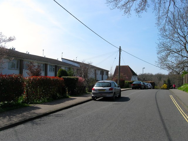
Image: © Simon Carey Taken: 7 Apr 2015
The name of the row of houses on the left that were built during the 1960s and are named due to their proximity to the old parish boundary with Keymer.
Images are licensed for reuse under creativecommons.org/licenses/by-sa/2.0
Image Location
Latitude
50.991516
Longitude
-0.107863