Vale Road, Haywards Heath
Introduction
The photograph on this page of Vale Road, Haywards Heath by Simon Carey as part of the Geograph project.
The Geograph project started in 2005 with the aim of publishing, organising and preserving representative images for every square kilometre of Great Britain, Ireland and the Isle of Man.

There are currently over 7.5m images from over 14,400 individuals and you can help contribute to the project by visiting https://www.geograph.org.uk
Vale Road, Haywards Heath
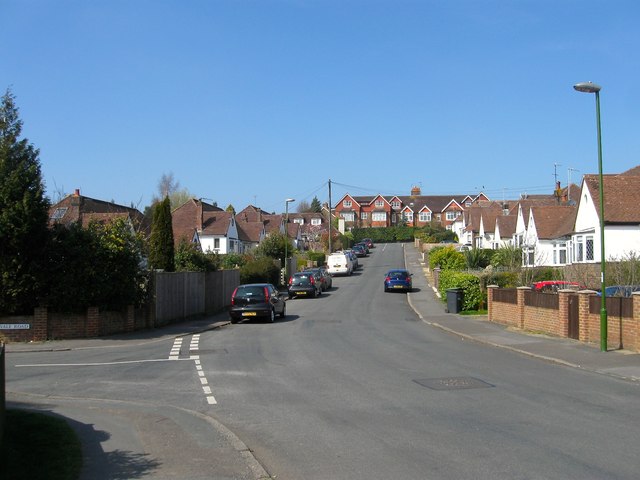
Image: © Simon Carey Taken: 7 Apr 2015
The road currently heads south from Ashenground Road then turns westwards at the junction in view to continue down to Bolding Way. Originally marked as Edward Road on a 1937 OS map and planned to join Wivelsfield Road further to the south, by the 1950s it had become Vale Road with Edward Road beginning at the junction.
Images are licensed for reuse under creativecommons.org/licenses/by-sa/2.0
Image Location
Latitude
50.992076
Longitude
-0.103566