Kents Road, Haywards Heath
Introduction
The photograph on this page of Kents Road, Haywards Heath by Simon Carey as part of the Geograph project.
The Geograph project started in 2005 with the aim of publishing, organising and preserving representative images for every square kilometre of Great Britain, Ireland and the Isle of Man.

There are currently over 7.5m images from over 14,400 individuals and you can help contribute to the project by visiting https://www.geograph.org.uk
Kents Road, Haywards Heath
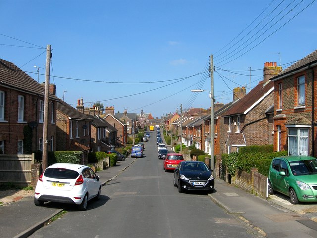
Image: © Simon Carey Taken: 7 Apr 2015
Viewed from the end of the road and looking north towards the distant junction with Triangle Road. Part of the road and a few houses appear on the 1897 OS map but was complete by the 1910 edition. Originally part of the parish of Wivelsfield until their transfer to Haywards Heath in 1933.
Images are licensed for reuse under creativecommons.org/licenses/by-sa/2.0
Image Location
Latitude
50.992886
Longitude
-0.098118