Lane near old railway line from Brecon to Tal-y-Llyn
Introduction
The photograph on this page of Lane near old railway line from Brecon to Tal-y-Llyn by John Martin as part of the Geograph project.
The Geograph project started in 2005 with the aim of publishing, organising and preserving representative images for every square kilometre of Great Britain, Ireland and the Isle of Man.

There are currently over 7.5m images from over 14,400 individuals and you can help contribute to the project by visiting https://www.geograph.org.uk
Lane near old railway line from Brecon to Tal-y-Llyn
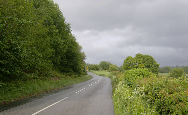
Image: © John Martin Taken: 11 May 2007
The line of trees left shows the general direction of the old railway east of Groesffordd Halt. The road swung to the left a little further on, passing under the line, which was making for the triangular junction at Tal-y-Llyn. Lines radiated from there to Hereford or Builth and Merthyr Tydfil.
Images are licensed for reuse under creativecommons.org/licenses/by-sa/2.0
Image Location
Latitude
51.940561
Longitude
-3.336983