Looking east from Star Lane DLR station
Introduction
The photograph on this page of Looking east from Star Lane DLR station by Christopher Hilton as part of the Geograph project.
The Geograph project started in 2005 with the aim of publishing, organising and preserving representative images for every square kilometre of Great Britain, Ireland and the Isle of Man.

There are currently over 7.5m images from over 14,400 individuals and you can help contribute to the project by visiting https://www.geograph.org.uk
Looking east from Star Lane DLR station
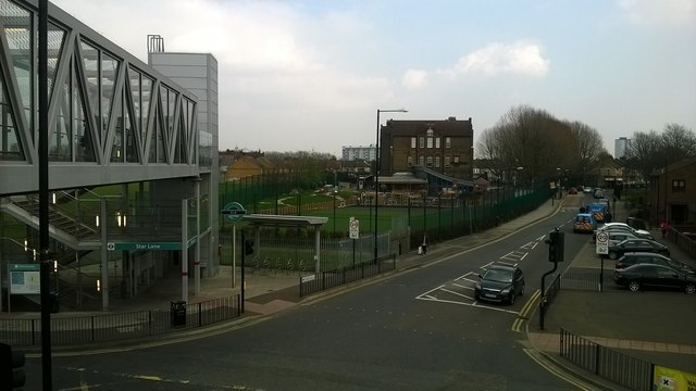
Image: © Christopher Hilton Taken: 8 Apr 2015
The road approaching the camera, with the car stopped at traffic lights, is Star Lane, from which the Docklands Light Railway station takes its name.
Images are licensed for reuse under creativecommons.org/licenses/by-sa/2.0
Image Location
Latitude
51.520765
Longitude
0.004803