The merger of a footpath and a permissive bridleway
Introduction
The photograph on this page of The merger of a footpath and a permissive bridleway by Ian Calderwood as part of the Geograph project.
The Geograph project started in 2005 with the aim of publishing, organising and preserving representative images for every square kilometre of Great Britain, Ireland and the Isle of Man.

There are currently over 7.5m images from over 14,400 individuals and you can help contribute to the project by visiting https://www.geograph.org.uk
The merger of a footpath and a permissive bridleway
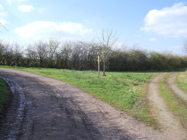
Image: © Ian Calderwood Taken: 7 Apr 2015
This triangular junction is where the Beaumont Way permissive bridleway, coming in from the right, merges with the footpath from Rough Park.
Images are licensed for reuse under creativecommons.org/licenses/by-sa/2.0
Image Location
Latitude
52.757175
Longitude
-1.433338