Oakdale Road, Haywards Heath
Introduction
The photograph on this page of Oakdale Road, Haywards Heath by Simon Carey as part of the Geograph project.
The Geograph project started in 2005 with the aim of publishing, organising and preserving representative images for every square kilometre of Great Britain, Ireland and the Isle of Man.

There are currently over 7.5m images from over 14,400 individuals and you can help contribute to the project by visiting https://www.geograph.org.uk
Oakdale Road, Haywards Heath
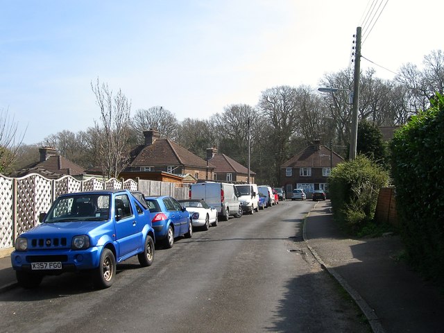
Image: © Simon Carey Taken: 7 Apr 2015
A cul de sac off Dellney Avenue that was once part of a field Barn Mead according to Cuckfield's 1843 tithe map and was developed in the 1920s.
Images are licensed for reuse under creativecommons.org/licenses/by-sa/2.0
Image Location
Latitude
50.993153
Longitude
-0.092407