Woodlands Road, Haywards Heath
Introduction
The photograph on this page of Woodlands Road, Haywards Heath by Simon Carey as part of the Geograph project.
The Geograph project started in 2005 with the aim of publishing, organising and preserving representative images for every square kilometre of Great Britain, Ireland and the Isle of Man.

There are currently over 7.5m images from over 14,400 individuals and you can help contribute to the project by visiting https://www.geograph.org.uk
Woodlands Road, Haywards Heath
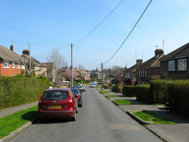
Image: © Simon Carey Taken: 7 Apr 2015
Looking eastwards from the junction with Mayflower Road, the initial three houses on either side date from the 1920s when the road was originally laid out, those beyond were added in the late 1950s when the road was extended to Windermere Road. Prior to that much of the area was the original site of Haywards Heath's first sewage farm which by 1910 has become allotments. The eastern end of the road is built on the site of a former brick field. The woodlands in the name would have been an acknowledgement of nearby Petlands Wood and Bent's Wood both of which have been lost to development.
Images are licensed for reuse under creativecommons.org/licenses/by-sa/2.0
Image Location
Latitude
50.999041
Longitude
-0.095015