SE boundary of Penrhys
Introduction
The photograph on this page of SE boundary of Penrhys by Jaggery as part of the Geograph project.
The Geograph project started in 2005 with the aim of publishing, organising and preserving representative images for every square kilometre of Great Britain, Ireland and the Isle of Man.

There are currently over 7.5m images from over 14,400 individuals and you can help contribute to the project by visiting https://www.geograph.org.uk
SE boundary of Penrhys
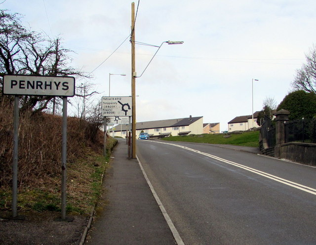
Image: © Jaggery Taken: 30 Mar 2015
The sign is alongside the B4512 Penrhys Road from Tylorstown. Both locations are in the county borough of Rhondda Cynon Taf.
Images are licensed for reuse under creativecommons.org/licenses/by-sa/2.0
Image Location
Latitude
51.64169
Longitude
-3.442487