Gillmans Road
Introduction
The photograph on this page of Gillmans Road by Ian Capper as part of the Geograph project.
The Geograph project started in 2005 with the aim of publishing, organising and preserving representative images for every square kilometre of Great Britain, Ireland and the Isle of Man.

There are currently over 7.5m images from over 14,400 individuals and you can help contribute to the project by visiting https://www.geograph.org.uk
Gillmans Road
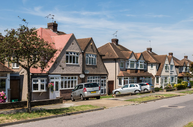
Image: © Ian Capper Taken: 18 Jul 2014
Road developed either side of the Second World War. The 1945 6 inch map (based on 1938 revisions) show it as Gilmans Road (with a single "l").
Images are licensed for reuse under creativecommons.org/licenses/by-sa/2.0
Image Location
Latitude
51.375953
Longitude
0.110349