Two Ash Farm
Introduction
The photograph on this page of Two Ash Farm by Derek Harper as part of the Geograph project.
The Geograph project started in 2005 with the aim of publishing, organising and preserving representative images for every square kilometre of Great Britain, Ireland and the Isle of Man.

There are currently over 7.5m images from over 14,400 individuals and you can help contribute to the project by visiting https://www.geograph.org.uk
Two Ash Farm
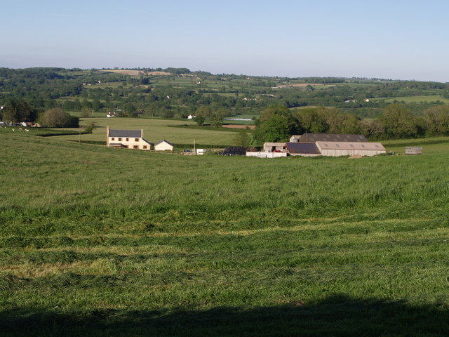
Image: © Derek Harper Taken: 22 May 2007
The farm is in a shallow re-entrant on the A358 south of Chard; the photo is taken from the lane north of Copse Stile. The grass is in the process of being cut in the field in the foreground.
Images are licensed for reuse under creativecommons.org/licenses/by-sa/2.0
Image Location
Latitude
50.859454
Longitude
-2.960411