Part of Dorton Village
Introduction
The photograph on this page of Part of Dorton Village by Des Blenkinsopp as part of the Geograph project.
The Geograph project started in 2005 with the aim of publishing, organising and preserving representative images for every square kilometre of Great Britain, Ireland and the Isle of Man.

There are currently over 7.5m images from over 14,400 individuals and you can help contribute to the project by visiting https://www.geograph.org.uk
Part of Dorton Village
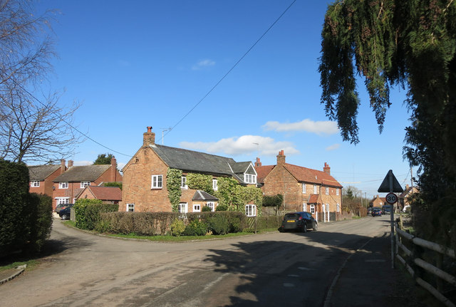
Image: © Des Blenkinsopp Taken: 10 Mar 2015
Some of the houses along the single main street.
Images are licensed for reuse under creativecommons.org/licenses/by-sa/2.0
Image Location
Latitude
51.822912
Longitude
-1.013335