In Bourne Park near Bridge
Introduction
The photograph on this page of In Bourne Park near Bridge by Marathon as part of the Geograph project.
The Geograph project started in 2005 with the aim of publishing, organising and preserving representative images for every square kilometre of Great Britain, Ireland and the Isle of Man.

There are currently over 7.5m images from over 14,400 individuals and you can help contribute to the project by visiting https://www.geograph.org.uk
In Bourne Park near Bridge
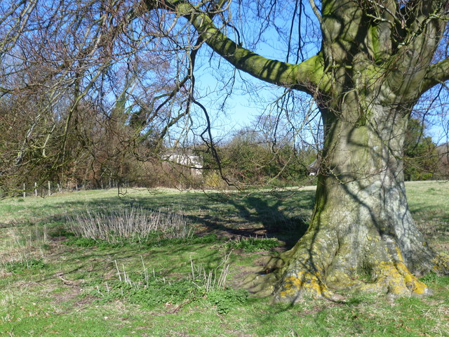
Image: © Marathon Taken: 5 Apr 2015
This view is from the Elham Valley Way as it approaches Bridge. The Elham Valley Way runs from Hythe to Canterbury Cathedral.
Images are licensed for reuse under creativecommons.org/licenses/by-sa/2.0
Image Location


Leaflet Map data © OpenStreetMap
Latitude
51.24335
Longitude
1.127571