Lower Road side of a former Baptist Chapel, Yorkley
Introduction
The photograph on this page of Lower Road side of a former Baptist Chapel, Yorkley by Jaggery as part of the Geograph project.
The Geograph project started in 2005 with the aim of publishing, organising and preserving representative images for every square kilometre of Great Britain, Ireland and the Isle of Man.

There are currently over 7.5m images from over 14,400 individuals and you can help contribute to the project by visiting https://www.geograph.org.uk
Lower Road side of a former Baptist Chapel, Yorkley
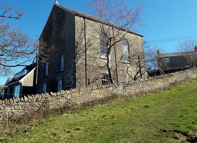
Image: © Jaggery Taken: 16 Mar 2014
Viewed from a track ascending from Lower Road to Beech Road. A tablet on the Beech Road side http://www.geograph.org.uk/photo/4417292 shows BAPTIST CHAPEL 1868. The chapel closed in 1980. The building has been converted to residential use.
Images are licensed for reuse under creativecommons.org/licenses/by-sa/2.0
Image Location
Latitude
51.761558
Longitude
-2.531999