Forestry operations
Introduction
The photograph on this page of Forestry operations by William Starkey as part of the Geograph project.
The Geograph project started in 2005 with the aim of publishing, organising and preserving representative images for every square kilometre of Great Britain, Ireland and the Isle of Man.

There are currently over 7.5m images from over 14,400 individuals and you can help contribute to the project by visiting https://www.geograph.org.uk
Forestry operations
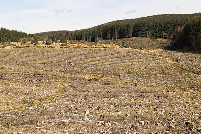
Image: © William Starkey Taken: 6 Apr 2015
Part of a large area of coniferous woodland undergoing clearance in the eastern Ochil Hills.
Images are licensed for reuse under creativecommons.org/licenses/by-sa/2.0
Image Location
Latitude
56.273763
Longitude
-3.577045