Green field at Stanbury
Introduction
The photograph on this page of Green field at Stanbury by Bill Boaden as part of the Geograph project.
The Geograph project started in 2005 with the aim of publishing, organising and preserving representative images for every square kilometre of Great Britain, Ireland and the Isle of Man.

There are currently over 7.5m images from over 14,400 individuals and you can help contribute to the project by visiting https://www.geograph.org.uk
Green field at Stanbury
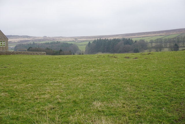
Image: © Bill Boaden Taken: 20 Mar 2015
The land descends ahead to Lower Laithe Reservoir but that cannot be seen from here. On the far side is Haworth Moor and Penistone Hill.
Images are licensed for reuse under creativecommons.org/licenses/by-sa/2.0
Image Location
Latitude
53.828994
Longitude
-1.989784