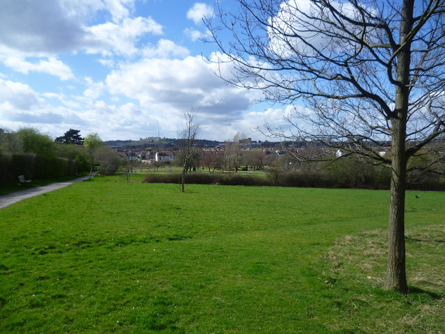
View from Lordship Recreation Ground
Introduction
The photograph on this page of View from Lordship Recreation Ground by Marathon as part of the Geograph project.
The Geograph project started in 2005 with the aim of publishing, organising and preserving representative images for every square kilometre of Great Britain, Ireland and the Isle of Man.
There are currently over 7.5m images from over 14,400 individuals and you can help contribute to the project by visiting https://www.geograph.org.uk

Image: © Marathon Taken: 31 Mar 2015
Lordship Recreation Ground was first opened as a public park in 1932 on about 100 acres of the former Broadwater Farm which had been acquired by Tottenham Urban District Council. In the intervening years it has reduced in size as the edges have been taken for development, especially for the Broadwater Farm estate built in the early 1970s. The River Moselle runs through the centre of the park from west to east. The river was diverted to the north of its old course as part of substantial investment in Lordship Recreation Ground. More about Lordship Recreation Ground and what the investment over the last ten years has achieved can be seen at http://www.haringey.gov.uk/community-and-leisure/parks-and-open-spaces/z-parks-and-open-spaces/lordship-recreation-ground This view is near the southern part of the park which is higher than the rest and provides quite wide views, in this case towards Alexandra Palace on the horizon towards the left of the picture.

